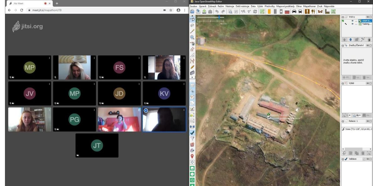
Teams of Doctors without Borders and other humanitarian organizations often help in poorly mapped areas. However, without detailed maps, it is impossible to plan vaccination campaigns, assess medical data or carry out epidemiological analyses. For this reason, the Missing Maps project was set up, within which humanitarian organizations in cooperation with volunteers all over the world create maps of areas threatened by crisis using satellite images.
Wherever they are, volunteers sitting at their computers can significantly contribute to the work that helps save millions of lives. Also students of Tomas Bata University got involved in this very project.
“The organized mapping, the so-called mapathon, is focused on improving map coverage in some of the developing countries with high rate of the new type of Coronavirus disease and with a lack of map coverage to enable better targeting of care to and active help for the infected persons. Such areas include, for example, Peru, Colombia or Sri Lanka,” explained Jakub Trojan from the Faculty of Logistics and Crisis Management (FLCM) of Tomas Bata University in Zlín.
Students may use pretty detailed satellite images of the entire Earth. They then use the images of areas that have not been depicted on classic maps so far. “We later seek buildings, roads, rivers on such images. Simply put, we seek everything that we can draw on the map, which can later be helpful during the provision of humanitarian assistance. We then redraw – vectorize – these objects to the OpenStreetMap map portal. Local volunteers later add the so-called attributes to them, i.e. information regarding the location of hospitals, schools, or playgrounds. The completed maps are used by humanitarian aid workers, regional governments and other institutions that help organize assistance in these hard-pressed regions,” added Jakub Trojan.
Humanitarian and crisis mapping is implemented by the FLCM regularly, namely by the Department of Environmental Security.
“We regularly organize mapathons for students as well as for the general public. We put the world’s most vulnerable places on the map, i.e. we map the areas that are literally “missing” from any map, but are densely populated. Such areas include countries in which the environment is threatened, countries fighting frequent pandemic disease outbreaks, illegal business activities, civil wars, etc.,” says Zuzana Tučková, Dean of the FLCM.
Using these detailed maps and data may later help local and international non-profit organizations to deal with crisis situations that affect these regions.
The participation of volunteers in the sphere of digitization is essential for many humanitarian organizations across the world coping with the consequences of various disasters.
